Photos of Mpumalanga Province, South Africa’s North-East


Mpumalanga Province, South Africa’s North-East
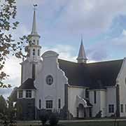
Mpumalanga, meaning "the place where the sun rises", the East in the languages of the resident Ndebele and Swazi peoples, was formed in 1994 in the Eastern Transvaal. It included the small Swazi “homeland”, named kaNgwane, that had been established in 1976 in three small parcels of land, two bordering northern Eswatini (Swaziland); abolished in 1994. Mpumalanga’s capital is Mbombela, previously known as Nelspruit, an Afrikaner town that briefly served as the capital of the South African (Transvaal) Republic during the Boer War.
you may then send it as a postcard if you wish.
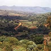
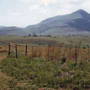
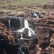
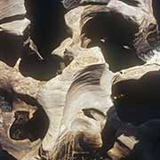
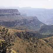
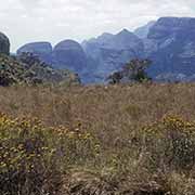
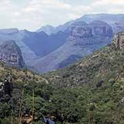

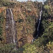
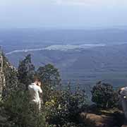
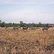
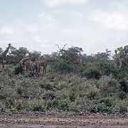
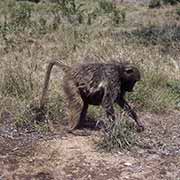
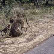
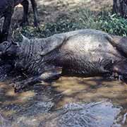
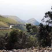
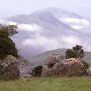
The northern part of Mpumalanga has glorious mountain scenery, with the spectacular Blyde River Canyon and waterfalls near the town of Sabie. Along the border with Mozambique and stretching into Limpopo province is the famous Kruger National Park, one of Africa’s largest game reserves with the most remarkable diversity of wildlife in South Africa.
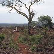
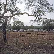
The area was inhabited by Pedi (Northern Sotho) and Swazi people; they put up significant resistance against the Boer settlers, who eventually established their republic. During the Apartheid era, tiny areas were set aside as part of the Bantustan policy: small plots of land for the proposed homelands of KwaNdebele (Southern Ndebele people) to the northeast of Pretoria, Lebowa (Pedi people) and Gazankulu (Tsonga people) around Acornhoek and the three Swazi areas of kaNgwane off the northern border with Eswatini.
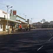
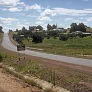
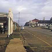
Further south, near the western border of Eswatini, is the small town of Barberton, founded in the 1880s gold rush in the region. Near the southwestern border of Swaziland is the town of Piet Retief, founded by the Voortrekkers in 1883 and named after their leader, who was killed by the Zulus. The name was officially changed to eMkhondo, although Afrikaner groups want to contest this. Volksrust is another Afrikaner town near the border with KwaZulu and the Free State.